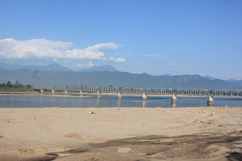
Farhana Ahmed, NORTH LAKHIMPUR: Lakhimpur is one of the most affected districts in the country in terms of climate vulnerability, said a report.
This has been reported in the Climate Vulnerability Assessment for Adoption Planning in India—Using a Common Framework by the Indian Institute of Science, Bangaluru, IIT-Guwahati, and IIT-Mandi under the Science and Technology.
According to the report, Lakhimpur is ranked 32 among the 51 worst affected districts of the country.
With rain-fed agriculture, yield variability of food grains, the small area under horticulture, and low forest area the Vulnerability Indices of Lakhimpur district according to this report is 0.673.
This alarming index of the district in the present scenario of climate change requires immediate attention from the concerned stakeholders.
A huge amount of agricultural land is being brushed away and crops go underwater through sedimentation and inundation caused by the floods and erosion in the district every year.
The agriculture area of the Lakhimpur district is 199756 hectares (NABARD 2016-17). This agricultural land has been affected by abnormal rain patterns like deficit rainfall, cloud burst and river siltation caused by flood and bank erosion.
Another contributor of sand deposit and siltation on agricultural land in the Lakhimpur district is the dam-induced flood from the Ranganadi Hydro-electrical plant by NEEPCO inside Arunachal Pradesh.
Since 2008 the NEEPCO dam has been causing havoc in the Lakhimpur district.
The entire Ranganadi basin spreading into two revenue circles namely North Lakhimpur and Nowboicha is the worst affected area by the siltation.
According to DDMA-Lakhimpur, 24511.04 hectares of cropland were affected by floods in the year 2017 in the district.
That year the annual flood was compounded by the release of access water by NEEPCO’s Ranganadi dam.
That year siltation occurred in 3,564 hectares of agricultural land in the Lakhimpur district. This diminishes the fertility of agricultural soil.
In 2021 the agricultural land lost in the flood was 8720.5 hectares in the Lakhimpur district.
Lack of forest area per 100 rural population was also found to be a major driver of vulnerability in the Lakhimpur district.
According to the India State of Forest Report 2009, Lakhimpur district has 288 hectares of forest cover which means only 12.65% of the total geographical area of the district.
This figure indicates a serious environmental concern in the district with rising temperatures. The continuous and indiscriminate felling of trees in the district has directly impacted the rainfall pattern.
According to RARS, AAU, North Lakhimpur the rainfall was 910.5mm in the month of July 2016 which has decreased to 461.8mm in 2021.
Since 2015 the pattern of monsoon rain in Lakhimpur has been abnormal in the month of August.
All these figures indicate a very disturbing picture of the environment in the Lakhimpur district for the coming days.
Once an abode of greenery and a rice bowl of Assam, Lakhimpur is slowly moving towards the desert.

